
Description
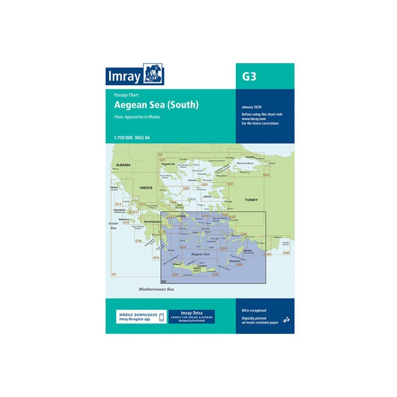
With a scale of 1:750 000 WGS 84 this yachting chart for the Southern portion of the Aegean Sea includes a plan for approaches to Rhodes .
Our catalogue of yachting charts is regarded by the sailing community as the most comprehensive available. Our paper charts are complemented by a growing list of electronic publications and high quality pilot books by leading authors.
For this 2014 edition the chart has been fully updated and modernised throughout using the latest available survey data. Ongoing harbour works at Rhodes are shown on the inset plan.
Dimensions: 90.5 cm x 64.5
Charts:
G3 South Aegean
G31 North Cyclades
G32 Samos & Turkish Coast
G33 Southwest Cyclades
G34 Southeast Cyclades
G35 Dodekanesse & Tourkish Coast
G36 Turkey South Coast
G37 West Crete
G38 East Crete
G39 Karpathos & Rhodes islands
G40 Turkey South Coast


Reviews
There are no reviews yet.